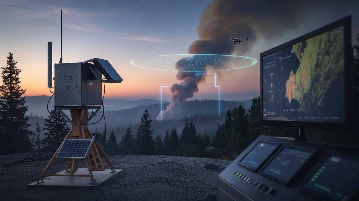
AI Wildfire Detection in 2026: How Satellites, Camera Networks, and Sensor Meshes Are Cutting the Time From First Smoke to First Response
- Internet Pros Team
- August 15, 2026
- AI & Technology
For most of the last century, a wildfire was discovered the same way: someone saw smoke and made a phone call. A lookout in a tower, a hiker on a trail, a driver on a highway. The delay between ignition and that call - often 30 to 90 minutes, sometimes hours overnight - was the single largest variable in whether a fire stayed at one acre or became a catastrophe. In 2026 that delay is collapsing. A layered stack of AI camera networks, purpose-built satellites, ground sensor meshes, and autonomous drones is now detecting many ignitions in minutes, frequently before any human has noticed anything at all. This is one of the least glamorous and most consequential applications of machine learning in the world, and it is worth understanding how it actually works.
Why Minutes Matter More Than Anything Else
Fire growth is not linear. A grass or brush fire in wind can double in size every few minutes during the first hour, and the resources needed to contain it scale with perimeter, not with time. A crew that reaches a fire at two acres can usually hold it with hand tools and a single engine. The same fire at two hundred acres needs aircraft, dozers, and a multi-agency response - and by then it is frequently uncontainable until the weather changes.
That is why detection, rather than suppression, has become the focus of investment. Suppression capacity is expensive and finite. Shaving twenty minutes off the average time-to-detection changes the arithmetic of every fire that follows, and it does so with cameras, radios, and software rather than with aircraft.
The most valuable firefighting resource in 2026 is not a helicopter. It is the twenty minutes between ignition and the first dispatch.
The Detection Stack, Layer by Layer
No single sensor solves the problem. Each layer covers a weakness in the others, and the systems that work best fuse all of them into one operating picture.
1. AI Camera Networks on the Ridgelines
The workhorse layer is a network of fixed pan-tilt-zoom cameras mounted on mountaintops, communication towers, and utility poles, each scanning a horizon of thirty to sixty miles. Computer vision models trained on millions of labeled frames watch every feed continuously for the visual signature of a smoke plume: its shape, its motion against the background, the way it rises and disperses. When the model flags a candidate, the frames go to a human analyst who confirms or rejects in seconds, and confirmed detections are triangulated across multiple cameras to produce a location.
The results have been striking. Networks operating across the western United States, Australia, and southern Europe now routinely report the first detection of a fire before any 911 call arrives, and in a meaningful share of cases the fire is out before the public ever hears about it. The models have also learned to ignore the things that fooled early versions: dust from agricultural equipment, low cloud, fog banks, industrial steam, and the glare of sunrise on a lens.
2. Purpose-Built Satellites
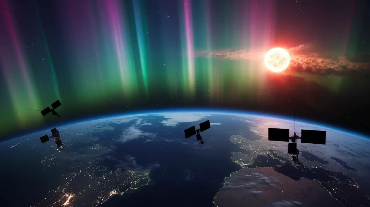
Weather satellites have detected large fires from orbit for decades, but their resolution was coarse - a fire had to grow to many acres before it registered as a hot pixel. The new generation of dedicated fire-detection constellations changes that. Small satellites carrying multispectral infrared sensors are designed to spot a fire the size of a classroom and revisit any point on Earth every twenty minutes or less once the full constellation is in place. Their value is coverage: cameras only see where they are installed, but a satellite sees the remote canyon, the roadless wilderness, and the border region no agency has instrumented.
3. Ground Sensor Meshes
Cameras and satellites both need line of sight and reasonably clear air. Ground sensors do not. Solar-powered devices the size of a coffee cup, mounted on trees and poles, sample the air for the gases and particulate signature of combustion, and report over low-power long-range radio to a gateway. Because they detect chemistry rather than sight, they catch smoldering ignitions under a canopy, at night, and in fog - the exact conditions where the other layers are blind. Utilities and municipalities are deploying them along power line corridors and at the wildland-urban interface, where a fire started by equipment or a human is most likely and most dangerous.
4. Drones for Confirmation and Night Operations
When a detection is ambiguous, or when it is dark and no crew can be dispatched safely, autonomous drones with thermal cameras fly to the coordinates, confirm the fire, measure its size and behavior, and stream imagery to incident commanders. Some agencies now keep drones in weatherproof docks that launch automatically on a confirmed detection, cutting the confirmation step from an hour to a few minutes.
| Layer | Detects | Typical Latency | Blind Spot |
|---|---|---|---|
| AI cameras | Visible smoke plumes | 1-10 minutes | Fog, night without visible flame, terrain shadow |
| Fire satellites | Thermal hotspots | Minutes to tens of minutes | Cloud cover, revisit gaps, small smoldering fires |
| Ground sensors | Combustion gases and particulates | Seconds to minutes | Only where installed; wind can carry smoke away from nodes |
| Drones | Confirmation, size, spread direction | 5-15 minutes after dispatch | Range, airspace rules, high wind |
From Detection to Prediction
Knowing where a fire is turns out to be only half the value. The same platforms now feed fire-spread models that combine live detections with terrain, fuel maps, real-time weather, and drought indices to forecast where the perimeter will be in one, three, and six hours. Incident commanders use these forecasts to position crews ahead of the fire rather than behind it, and emergency managers use them to time evacuation orders - one of the hardest judgment calls in public safety, where too early erodes trust and too late costs lives.
The models are not perfect. Fire behavior in extreme wind is chaotic, and the fuel maps that underpin the forecasts are often years out of date. But a forecast that is right most of the time, delivered in minutes, is a very different tool from a paper map and a hunch.
Why Utilities Became the Biggest Buyers
The most aggressive adopters of this technology are not fire agencies but electric utilities. After a series of catastrophic fires were traced to power line failures, utilities faced liability measured in the billions and a blunt instrument for managing it: preemptive power shutoffs during high-wind events, which are safe but deeply unpopular and economically costly.
Better detection offers a way out. A utility that can see an ignition anywhere along its corridor within minutes, and can prove it, has both a smaller risk of a runaway fire and a stronger position with regulators and insurers. Many now pair sensor networks with grid hardware that de-energizes a line within a fraction of a second of a fault, and with camera coverage that lets them keep more lines live during wind events instead of shutting off whole regions. Insurers, for their part, have started pricing coverage differently for communities and infrastructure inside monitored zones - a quiet but powerful incentive that is doing more to spread the technology than any mandate.
What Separates a Working System From a Demo
- Human confirmation in the loop. The best models still generate false positives. A trained analyst confirming each alert in seconds keeps dispatch trust intact - and trust is what makes crews roll on a camera alert without waiting for a call.
- Integration with dispatch. A detection that lands in a dashboard nobody watches is worthless. Working systems push directly into computer-aided dispatch with a location, a confidence score, and imagery.
- Resilient connectivity. Cameras and sensors in remote terrain need backhaul that survives the fire itself - satellite links and mesh radio, not a single cell tower that burns in the first hour.
- Coverage where fires start, not where cameras are easy. The utility corridor, the highway shoulder, and the edge of town matter more than the scenic summit.
- Open data. Public camera feeds and shared detections let neighboring agencies, residents, and researchers act on the same picture. Closed systems fragment the response.
The Honest Limits
Detection does not put fires out. In a wind-driven event with a hundred simultaneous ignitions, knowing about all of them within minutes does not create the crews to reach them, and several recent disasters were detected early and lost anyway. The technology shifts the odds; it does not repeal them.
There are also equity and privacy questions. Coverage clusters where budgets are, so wealthy districts and utility corridors are watched while poorer rural regions rely on the satellite layer alone. And a network of high-resolution cameras scanning inhabited valleys around the clock is a surveillance system whether or not anyone intends it to be; agencies that publish clear retention and access policies have had far less pushback than those that did not.
What This Means for Businesses and Communities
If you operate property, infrastructure, or a workforce in a fire-prone region, three things follow. First, check whether your area is inside a monitored camera or sensor network and whether the feeds are public - they are frequently the fastest source of information you will have during an event, faster than official alerts. Second, if you own assets along the wildland-urban interface, ground sensors are now cheap enough that private deployment is realistic, and insurers increasingly notice. Third, treat fire-spread forecasts as an operational input, the way you already treat weather: a business that plans shutdowns, evacuations, and communications around a six-hour forecast is in a materially better position than one reacting to a plume on the horizon.
The broader lesson is a familiar one from every field where machine learning has quietly become infrastructure. The breakthrough was not a single model. It was the patient work of putting sensors where the problem is, feeding their output into the systems people already use, and keeping a human in the loop where the cost of being wrong is high. Wildfire detection in 2026 is a case study in that discipline - and, in a warming world, one of the more important ones.